hiking
Ben Nevis via the CMD Arete: the Mountaineer's Route
A thrilling ascent of Ben Nevis combining rugged ridges, breathtaking views, and true mountain adventure.
By Highland Explorer Editorial, Highland Expert - - 7 min read
Ben Nevis via the CMD Arete: the Mountaineer's Route
Ben Nevis, the highest mountain in the UK, attracts thousands of walkers every year. While most ascend via the Mountain Track, the Carn Mor Dearg Arete (CMD Arete) offers a thrilling alternative for experienced hikers. Combining a narrow, exposed ridge with jaw-dropping views of the North Face, this route challenges even seasoned mountaineers and rewards them with one of the most spectacular walking experiences in Scotland. If you're seeking adventure, solitude, and a touch of scrambling, this is the route for you.
The CMD Arete route is not for the faint-hearted. It demands fitness, focus, and a head for heights as it links Carn Mor Dearg (1220m) to Ben Nevis (1345m) via a dramatic rocky spine. Along the way, you'll bag two Munros, enjoy unrivalled vistas of the Scottish Highlands, and avoid the crowds that frequent the Mountain Track. This guide provides everything you need to plan and conquer this stunningly scenic alpine route.
Route Overview
Distance: 18-21km Total ascent: Approximately 1500m Completion time: 8-11 hours Start and finish point: North Face Car Park, Torlundy (grid reference NN166712) Difficulty: Expert: Grade 1 scramble with exposureGetting to the Start
The CMD Arete route begins at the North Face Car Park in Torlundy, just outside Fort William. If travelling by car, take the A82 north from Fort William towards Spean Bridge. After approximately 3 miles, turn left onto a minor road signed for the North Face Car Park. Follow this road for 1 mile to reach the parking area. There is ample parking, though it can fill quickly during peak times.
For those relying on public transport, buses run regularly between Fort William and Spean Bridge, stopping near the turn-off for Torlundy. From the bus stop, it’s a short walk to the car park. Fort William also has a train station, making it accessible from Glasgow and other major cities across Scotland.
The Walk Step by Step
Section 1: North Face Car Park to Carn Mor Dearg
Starting from the North Face Car Park, cross the bridge and follow the Puggy Line track. After a short distance, turn right onto the North Face Trail, which leads uphill through a dense pine forest. The initial section is steep and involves navigating marshy bogland, so gaiters and waterproof boots are highly recommended. As you gain elevation, the forest gives way to open terrain, offering glimpses of the surrounding peaks.
The path winds steadily upwards toward Carn Beag Dearg before joining a rocky trail that ascends to the summit of Carn Mor Dearg at 1220m. Take a moment here to enjoy the 360-degree views of the Highlands, with the imposing North Face of Ben Nevis dominating the skyline. The summit cairn marks the start of the next, more challenging section.
Section 2: Traversing the CMD Arete
From Carn Mor Dearg, the route follows the narrow spine of the CMD Arete for approximately 1km. This is the most exhilarating part of the walk, featuring significant exposure and requiring careful foot placement. The ridge is rocky and uneven, with steep drops on both sides. While the scrambling here is non-technical in summer conditions, it demands concentration and a good head for heights. Take your time and savour the incredible views of Coire Leis and the sweeping ridges of Ben Nevis’s North Face.
The arete transitions from granite to black andesite as you near Ben Nevis, with the terrain becoming slightly less exposed. Keep an eye out for wildlife such as ptarmigans and mountain hares, which are often spotted in this remote area. After completing the traverse, you’ll reach the base of the boulder field leading to Ben Nevis’s summit.
Section 3: Final Ascent to Ben Nevis Summit
The climb from the end of the CMD Arete to the summit of Ben Nevis is steep and challenging. The path becomes indistinct as you navigate through expansive talus and boulder fields. Be cautious here, as loose rocks can make footing unstable. Despite the effort, the summit cairn and trig point are a rewarding sight, marking the highest point in Britain at 1345m.
The summit plateau offers breathtaking views across the Highlands, particularly on clear days when you can see as far as the Isle of Skye and the Cairngorms. Be mindful of the weather, as conditions can change rapidly even in summer.
Section 4: Descent via Mountain Track
From the summit, descend via the Ben Nevis Mountain Path, which is well-trodden and easy to follow. At the crossroads near Lochan Meall an t-Suidhe, leave the Mountain Track and join the North Face Path. This quieter trail circles around the mountain, offering a gentler descent back to the North Face Car Park where your adventure began.
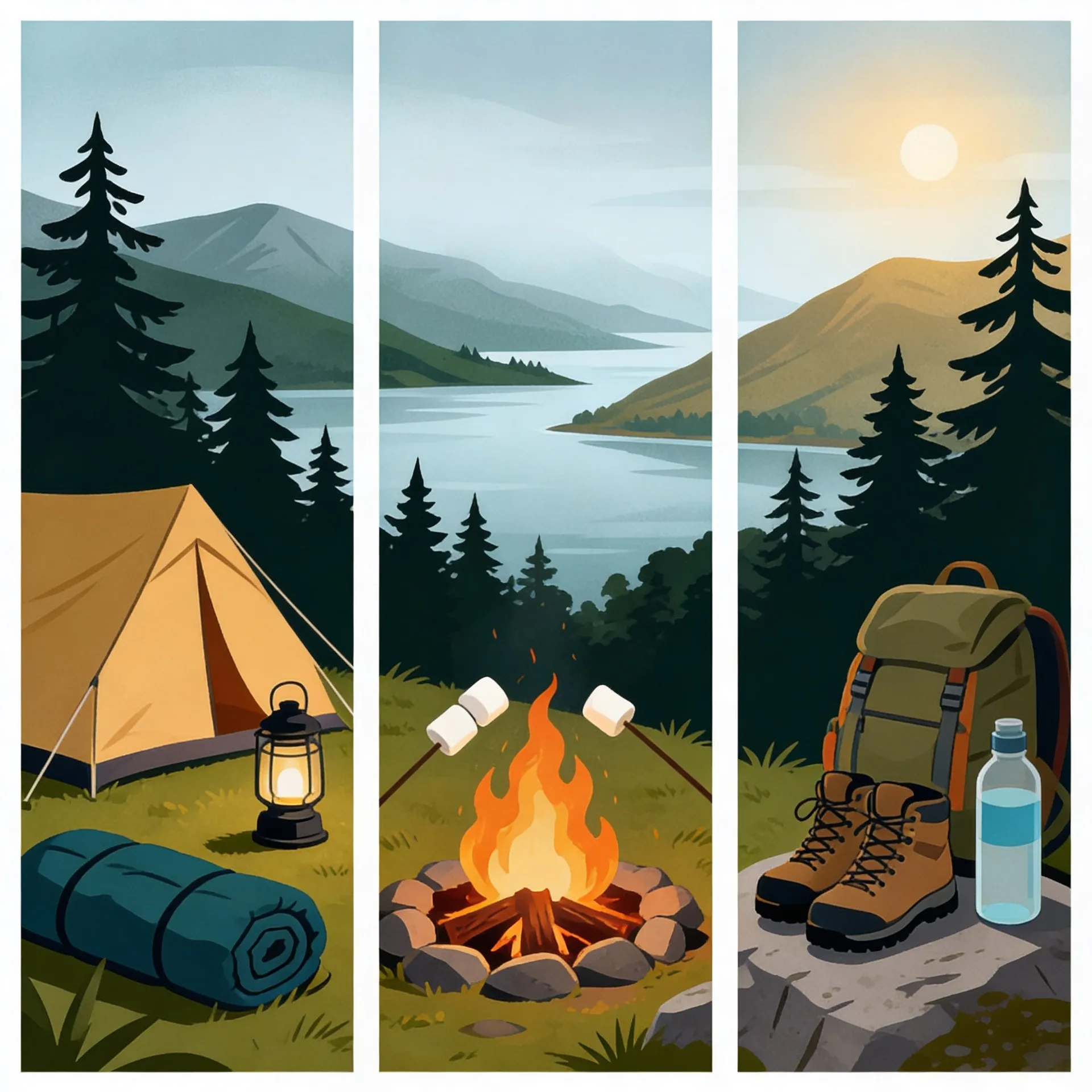
What You Will Need
- Sturdy mountain boots with good grip
- Waterproof clothing, including gaiters
- A detailed map and compass or GPS device
- Plenty of food and water
- First aid kit and emergency whistle
- Optional: trekking poles to aid stability on loose terrain
The CMD Arete is best tackled between late spring and early autumn when conditions are dry. Avoid attempting this route in poor weather or if you're inexperienced in scrambling and exposed terrain.
Safety and Hazards
Safety is paramount on this route. The CMD Arete is exposed and demands careful navigation, particularly in mist or poor visibility. Ensure you check the weather forecast before setting off, as the ridge becomes dangerous in wet or windy conditions. In winter, the route requires specialist equipment such as crampons and ice axes, along with advanced skills in winter mountaineering.
The boulder fields near Ben Nevis’s summit pose a risk of twisted ankles and falls, so tread carefully. Always carry a fully charged phone and know the emergency contact number for mountain rescue services. Remember that the remote nature of this route means help can take time to arrive.
Key Takeaways
- The CMD Arete offers the most thrilling and scenic ascent of Ben Nevis.
- This route is suitable only for experienced and fit walkers.
- Dry weather is essential to safely traverse the exposed ridge.
- Plan for 8-11 hours to complete this 18-21km circular route.
- Proper mountain kit and navigation tools are mandatory.
- The route includes two Munros: Carn Mor Dearg and Ben Nevis.
Where to Stay Nearby
Fort William is the nearest town to the CMD Arete route, offering a range of accommodation options:
- Alexandra Hotel: A comfortable hotel in the centre of Fort William, ideal for post-hike relaxation.
- Glen Nevis Youth Hostel: Affordable accommodation with excellent facilities for walkers.
- Torlundy Farm B&B: A cosy bed-and-breakfast just a short drive from the North Face Car Park.
Frequently Asked Questions
How hard is the CMD Arete?
The CMD Arete is considered an expert route due to its exposure, length, and challenging terrain. While the scrambling is non-technical in summer, the ridge requires sure-footedness and a good head for heights. It’s not suitable for beginners or those without alpine experience.
Do you need ropes for the CMD Arete?
No ropes are required for the CMD Arete in summer conditions, as the scrambling is straightforward. However, winter ascents may require ropes for safety, particularly on icy or snowy sections. Winter mountaineering skills are essential during colder months.
How long does the CMD Arete take?
Depending on fitness and conditions, the CMD Arete route takes between 8-11 hours to complete. Experienced walkers aiming for a steady pace typically finish within 9-10 hours, while slower parties may take longer.
Is the CMD Arete dangerous?
The CMD Arete has significant exposure and is dangerous in wet, windy, or wintry conditions. It demands careful navigation and concentration throughout. While manageable in dry summer weather for experienced walkers, the ridge poses risks for those unfamiliar with scrambling or steep drops.
For alternative routes and further inspiration, explore the Mountain Track route on Ben Nevis, Carn Mor Dearg as a standalone walk, and the Mamores ridge across Glen Nevis. For winter adventurers, consult our guide to winter conditions on Ben Nevis.
Share this story
Enjoyed this read? Share it with fellow travellers on Facebook, X (Twitter), LinkedIn, or send the link to a friend.