hiking
The Mamores Ridge: Scotland's Finest Munro Ridge Walk
A breathtaking journey across rugged peaks, dramatic landscapes and unparalleled views in the Scottish Highlands.
By Highland Explorer Editorial, Highland Expert - - 7 min read
The Mamores Ridge is one of Scotland’s finest high-level hillwalking challenges, offering an exhilarating combination of Munro summits, sweeping ridge lines, and jaw-dropping panoramas. Nestled south of Ben Nevis and stretching between Kinlochleven and Glen Nevis, this chain of ten Munros is a paradise for adventurous walkers seeking a rewarding, strenuous outing in the heart of the Highlands. Whether you attempt the full Mamores traverse over two days or opt for one of the shorter day routes such as the Ring of Steall or Eastern Horseshoe, the Mamores promise an unforgettable experience full of rugged beauty, airy scrambles, and dramatic landscapes.
From the quartzite summit of Stob Bàn to the narrow crest of the Devil’s Ridge, each section of the Mamores Ridge offers its own unique challenges and rewards. This guide will give you all the information you need to plan your trip, including detailed route descriptions, essential tips, safety advice, and where to stay nearby.
Route Overview
Distance: 24-40 km (full traverse), 16 km (Ring of Steall), 9.8 km (Stob Bàn) Ascent: 3300-3500 m (full traverse), 1676 m (Ring of Steall), 909 m (Stob Bàn) Estimated Time: 2 days (full traverse), 8-12 hours (Ring of Steall), 6 hours (Stob Bàn) Start Points: Kinlochleven (NN188623), Glen Nevis Lower Falls Carpark Difficulty: StrenuousGetting to the Start
There are two primary access points to the Mamores Ridge: Kinlochleven and Glen Nevis. For the full traverse, Kinlochleven is the preferred starting point, accessed via the A82 and B863 roads, with parking available at the village centre or near the Grey Mare’s Tail Waterfall (NN188623). Alternatively, Glen Nevis offers another popular start, particularly for the Ring of Steall and routes involving Stob Bàn. Park at the Lower Falls Carpark at the end of the Glen Nevis road, where facilities include toilets and picnic areas.
Public transport is limited in the area but possible. Fort William is the nearest major town, accessible by train or bus, and offers connections to Kinlochleven via local buses. From Glen Nevis, walkers can begin directly from Fort William if prepared for an extended approach.
The Walk Step by Step
Stage 1: Kinlochleven to Am Bodach
Starting in Kinlochleven, follow the clear path uphill past the Grey Mare’s Tail Waterfall. The path climbs steeply through recently felled forest, eventually emerging onto grassy terrain. The ascent continues to Am Bodach (1032 m), the easternmost Munro of the ridge. The summit rewards walkers with spectacular views over Glen Nevis and the surrounding peaks, a fitting introduction to the Mamores.
Stage 2: The Eastern Mamores
From Am Bodach, the route follows narrow ridges connecting Stob Coire a’ Chairn (981 m), Na Gruagaichean (1056 m), and Binnein Mòr (1130 m), the highest point of the Mamores. Expect a mix of faint paths, boulder fields, and grassy crests as you traverse this section. The views from Binnein Mòr stretch beyond Glen Nevis to Ben Nevis and Loch Linnhe, making this one of the most rewarding areas of the ridge.
Stage 3: Ring of Steall and Devil’s Ridge
Descending from Binnein Mòr, walkers can tackle the Ring of Steall, a classic circuit that passes the iconic Steall Waterfall. After crossing An Gearanach (982 m), the ridge leads to Sgurr a’ Mhaim (1099 m), a summit famed for its quartzite slopes and airy Devil’s Ridge. The Devil’s Ridge challenges walkers with an exposed scramble, although bypass paths offer relief for those uneasy with heights. This section, particularly on clear days, presents unforgettable views of Ben Nevis across Glen Nevis.
Stage 4: Western Mamores Peaks
For those tackling the full traverse, the route continues westward to Stob Bàn (999 m) and Mullach nan Coirean (939 m). Stob Bàn’s quartzite summit stands out distinctly, accessed via a steep ridge that requires care. From Mullach nan Coirean, grassy slopes descend towards the West Highland Way, providing an easier finish to Kinlochleven.
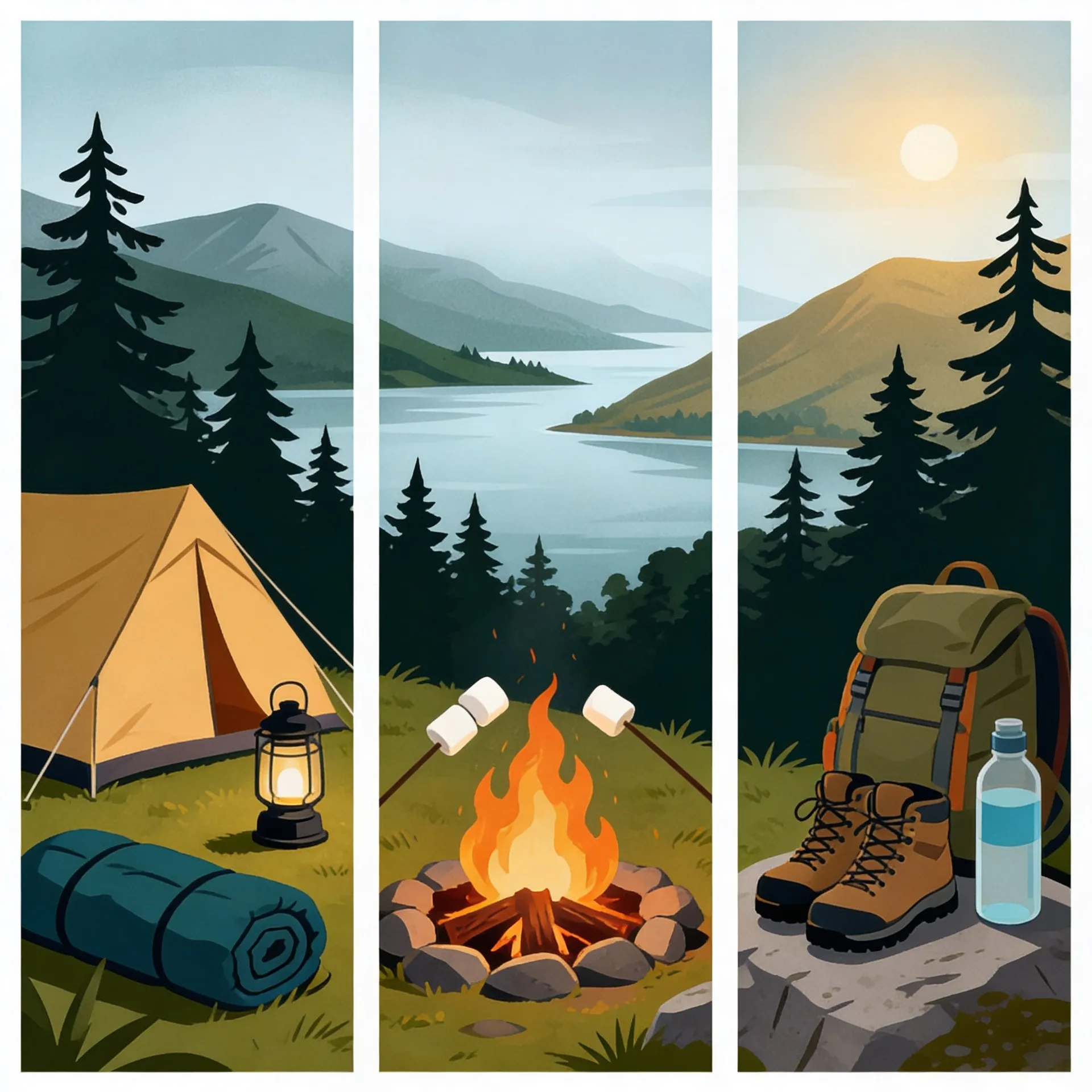
What You Will Need
- Hillwalking gear: Sturdy waterproof boots, layered clothing, gaiters, gloves, and a hat.
- Navigation tools: OS Map 41 (Ben Nevis), compass, and GPS (optional).
- Safety equipment: First aid kit, emergency shelter, and headtorch.
- Food and water: High-energy snacks, packed lunch, and sufficient water or a filter/purifier.
- Camping gear: Tent, sleeping bag, and cooking equipment for the full traverse.
The best months for the Mamores are May through September, when conditions are generally milder. However, always check the Mountain Weather Information Service (MWIS) and Scottish Avalanche Information Service (SAIS) for forecasts and hazards, particularly in winter.
Safety and Hazards
The Mamores Ridge is a strenuous walk requiring good fitness and experience in navigation and mountain terrain. Scrambles such as the Devil’s Ridge demand a head for heights, and exposure is frequent along the route. In poor visibility or winter conditions, the risks increase significantly due to snow, ice, and cornices. Always carry a map, compass, and emergency equipment, and know how to use them.
Mountain rescue teams in the area are well-equipped, but walkers should avoid unnecessary risks. Plan thoroughly, inform someone of your route, and carry an emergency phone or GPS device.
Key Takeaways
- The Mamores Ridge includes 10 Munros, offering one of Scotland’s best ridge walks.
- The full traverse is a challenging 24-40 km route, best completed over two days.
- Popular shorter routes include the Ring of Steall and Eastern Horseshoe.
- Scrambles such as the Devil’s Ridge require confidence and careful footing.
- Views encompass Ben Nevis, Glen Nevis, and Loch Linnhe.
- Essential kit includes navigation tools, emergency shelter, and all-weather clothing.
- Wild camping is permitted for the full traverse but must follow Leave No Trace principles.
Where to Stay Nearby
Kinlochleven: The Tailrace Inn offers comfortable rooms and hearty meals, perfect for recovering after a long hike. Nearby campsites such as Blackwater Hostel and Campsite provide budget-friendly options.
Fort William: Ideal for accessing Glen Nevis, Fort William offers a range of accommodations, including the Nevis Bank Inn and Glen Nevis Youth Hostel.
For those wild camping on the ridge, ensure you choose sites well away from paths and water sources, and leave no trace.
For more on this area, see our guide to Ben Nevis across Glen Nevis. For more on this area, see our guide to the Devils Ridge scramble on Sgurr a Mhaim. For more on this area, see our guide to the Steall Waterfall walk. For more on this area, see our guide to Am Bodach and the eastern Mamores.
Frequently Asked Questions
How many Munros are in the Mamores? The Mamores Ridge contains ten Munros, including highlights such as Sgurr a’ Mhaim, Binnein Mòr, and Stob Bàn. These peaks form a continuous chain between Glen Nevis and Kinlochleven.
How long does the Mamores ridge take? The full Mamores traverse typically takes two days, covering 24-40 km with 3300-3500 m of ascent. Fit walkers can complete shorter sections, such as the Ring of Steall, in 8-12 hours.
What is the Ring of Steall? The Ring of Steall is a classic day circuit in the Mamores, usually covering An Gearanach, Stob Coire a' Chairn, Am Bodach, and Sgurr a' Mhaim. This route involves steep ascents, airy ridges, and views of the Steall Waterfall.
Where do you start the Mamores? The Mamores Ridge can be started from Kinlochleven or Glen Nevis. The Lower Falls Carpark in Glen Nevis is ideal for shorter routes like the Ring of Steall, while Kinlochleven is best for the full traverse.
Share this story
Enjoyed this read? Share it with fellow travellers on Facebook, X (Twitter), LinkedIn, or send the link to a friend.