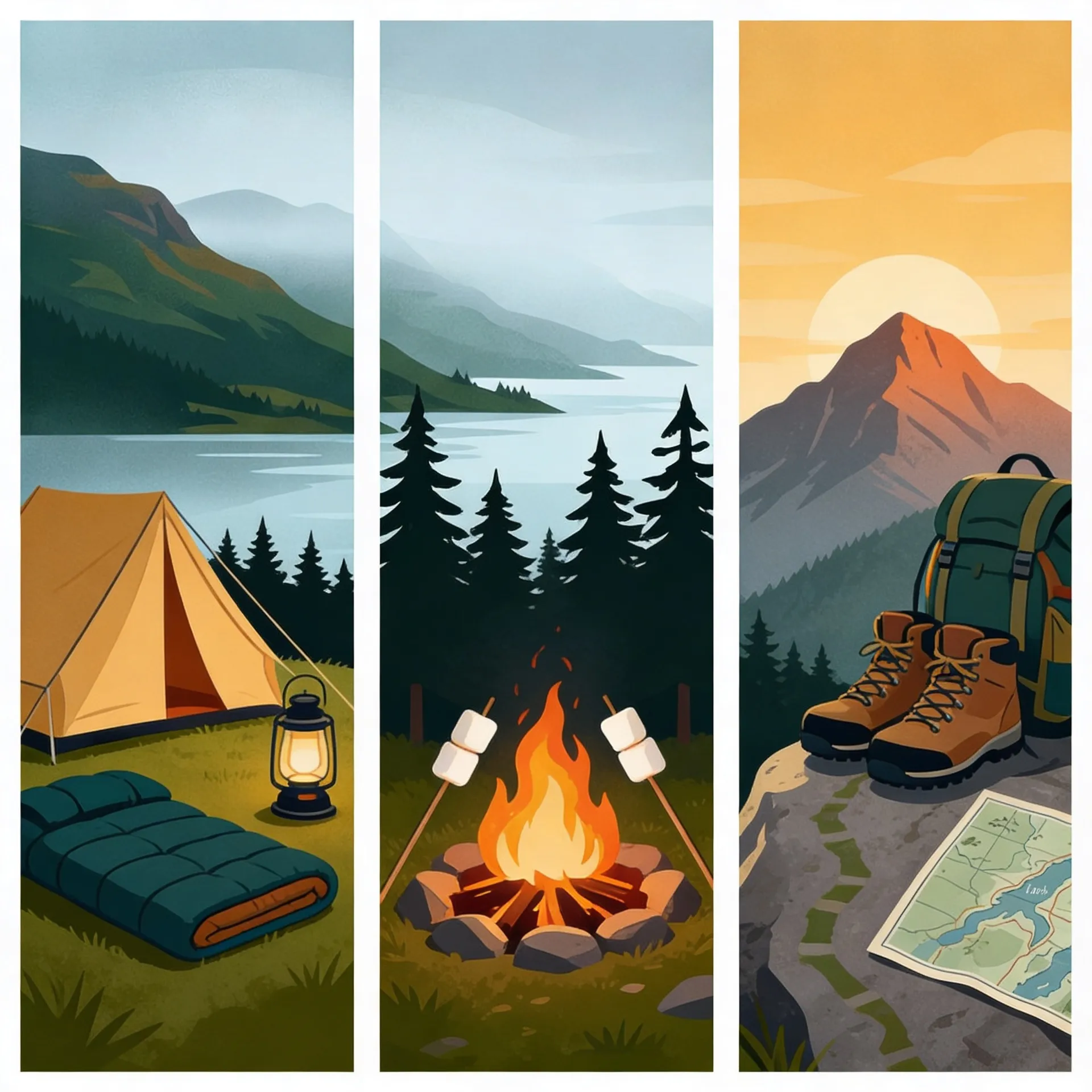
hiking
Cairngorm Plateau: Navigation in Mist and Bad Weather
Master essential tips for safely exploring Cairngorm's challenging terrain in misty, unpredictable conditions.
By Highland Explorer Editorial, Highland Expert - - 3 min read
When mist descends on the Cairngorm plateau, it transforms into one of Britain’s most dangerous navigation challenges. Featureless expanses of boulders stretch for kilometres, blending into the white of the sky during total whiteouts. Disorientation can lead to catastrophic errors, such as wandering over the rim into the Northern Corries. Successful navigation here requires preparation, precision, and a thorough understanding of the terrain.
Cairngorm Plateau
The Cairngorm plateau, anchored by peaks like Ben Macdui (1309m) and Cairn Gorm (1245m), covers approximately 10km of high-altitude, featureless terrain. Its boulder fields and whiteouts present constant risks, particularly near the Northern Corries where cliff edges drop sharply. Weather conditions often amplify these hazards: wind speeds can exceed 70mph, spindrift obscures visibility, and winter introduces avalanche dangers. Proper preparation and vigilance are critical for anyone venturing into this area.
Navigation relies heavily on traditional tools. A map and compass are essential, with GPS used only as a backup due to potential signal loss or battery drain in cold conditions. The recommended map is the OS Landranger 1:50,000 Map 36, combined with a quality compass and altimeter. Mastering micro-navigation techniques such as pacing, timing, and bearing following is key to avoiding positional drift in such an unforgiving environment. Linear features like cairns, streams, and ridges serve as vital handrails for maintaining your route.
Access to the plateau is typically via Glenmore or Coire Cas, with the Ptarmigan funicular providing an alternative start point (weather permitting). Winter conditions, as detailed in our Cairngorm winter guide, demand specialist equipment including crampons, an ice axe, ski goggles, and a bothy bag. Always check MWIS weather forecasts and SAIS avalanche reports before setting out.
Key Takeaways
- Plan your route thoroughly: Use reliable maps and pre-plot bearings to key landmarks such as Ben Macdui or the Shelter Stone.
- Bring essential tools: Carry a map, compass, altimeter, and GPS (as a backup). Know how to use them in poor visibility.
- Anticipate whiteouts: Practise pacing and timing to maintain bearings and avoid aimless wandering in mist.
- Follow handrails: Streams like the March Burn and cairn lines can guide you safely off the plateau.
- Stay weather-aware: Check conditions and adjust plans accordingly. Avoid the plateau in extreme winds or avalanche-prone conditions.
Frequently Asked Questions
Why is navigation on the Cairngorm plateau so hard?
The plateau’s vast, featureless terrain makes it easy to lose track of direction, especially during whiteouts. Boulders blend into the fog, and there are few landmarks to orient yourself. With cliff edges and steep drops nearby, errors can have serious consequences.
Do I need GPS?
GPS can be helpful, but it should never replace your map and compass. Battery life is unreliable in cold weather, and signal loss is common in mist. Use GPS as a backup, while prioritising traditional navigation techniques.
What happens in a whiteout?
In a whiteout, visibility can drop to just a few metres, and the horizon disappears as sky and ground merge. This makes it nearly impossible to see or follow your route. Stop, assess your position using a map and compass, and wait for breaks in the mist if possible.
For more tips on staying safe in the mountains, visit our mountain safety guide. Whether tackling the Cairngorm plateau or another Highland challenge, preparation and skill are your best defences against the elements.
Share this story
Enjoyed this read? Share it with fellow travellers on Facebook, X (Twitter), LinkedIn, or send the link to a friend.