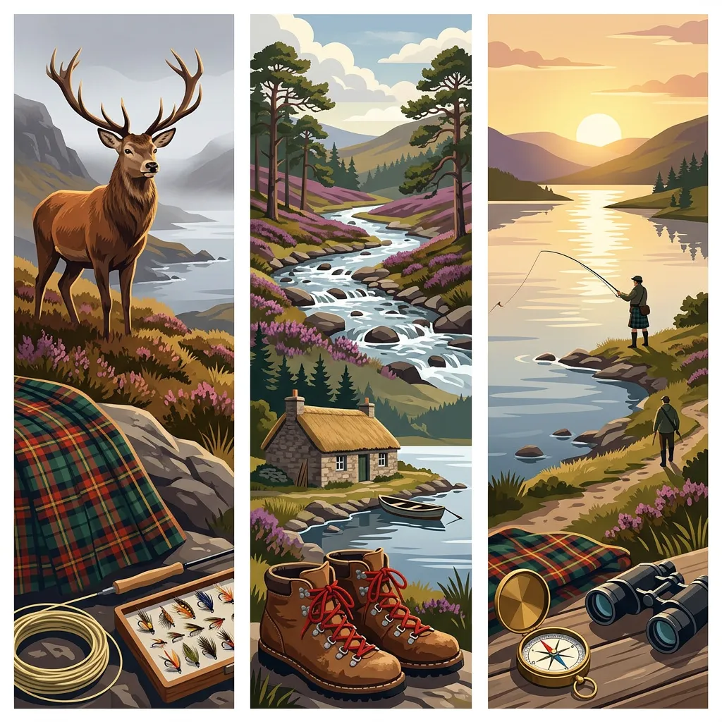
hiking
Ben Loyal: the Queen of Scottish Mountains
Discover breathtaking views, diverse wildlife, and rich history on Scotland's majestic Ben Loyal adventure.
By Highland Explorer Editorial, Highland Expert - - 6 min read
Ben Loyal, often referred to as the "Queen of Scottish Mountains", is one of Scotland’s most iconic Corbetts, rising to an impressive 765 metres at its highest summit, An Caisteal. Its jagged granite profile dominates the skyline of northern Sutherland, visible from miles around and drawing walkers, photographers, and nature enthusiasts alike. Nestled near the Kyle of Tongue, Ben Loyal offers a challenging yet immensely rewarding hiking experience, combining remote wilderness with unrivalled panoramic views across Scotland’s northern reaches.
Tackling Ben Loyal is no easy feat. It demands stamina, good navigation skills, and agility, particularly when scrambling up its granite tors. However, for those willing to put in the effort, the mountain offers an unforgettable adventure. From boggy moorland and heather-covered slopes to its striking ridge and granite summits, Ben Loyal is a Scottish gem that truly earns its regal nickname.
Route Overview
The most popular route begins at Ribigill Farm, located just south of Tongue village. This out-and-back hike covers approximately 13-15 km and involves an elevation gain of between 750 and 975 metres. The journey typically takes 5-7 hours for fit walkers and includes a mix of farmland tracks, boggy moorland, steep pathless slopes, and light scrambling on the summit ridge. Navigation is essential, particularly in poor visibility, as much of the route involves faint or non-existent paths.
The mountain’s four main summits are spread across its ridge: Sgòr Chionasaid (712 metres), An Caisteal (765 metres and the highest point), Sgòr a' Bhatain (a minor peak), and Beinn Bheag (744 metres). An Caisteal, with its distinctive granite tors, is the highlight of the walk, but the entire ridge offers stunning views in all directions. On a clear day, hikers can see as far as the Orkney Islands, the Kyle of Tongue, Loch Loyal, and nearby peaks such as Ben Hope.
The Walk
Stage 1: Ribigill Farm to the Base of Sgòr Chionasaid
The walk begins at Ribigill Farm (grid reference NC 584 547), where parking is available. From the farm, follow the track south through fields and open moorland. Early on, you will need to ford the Allt Lòn Malmsgaig burn at grid reference NC 581 516. This crossing can be tricky after heavy rain when water levels rise, so check the conditions beforehand. After crossing the burn, the path becomes faint, leading uphill towards Sgòr Chionasaid.
This section of the hike involves traversing boggy ground and heather-covered slopes, so waterproof boots are strongly recommended. As you gain elevation, the terrain becomes steeper and more challenging, with a mix of grass and heather underfoot. Navigation can be tricky here, and walkers will need to rely on a map, compass, or GPS. Look out for faint signs of a trail as you approach the western base of Sgòr Chionasaid.
Stage 2: Ridge Ascent to An Caisteal
Once you reach the crest south of Sgòr Chionasaid, the views begin to open up dramatically. Follow the ridge path as it climbs gently towards the high point of An Caisteal, passing the minor peak of Sgòr a' Bhatain along the way. The ridge path is faint but visible in good conditions. The final ascent to An Caisteal involves light scrambling over granite tors, which adds a touch of excitement to the hike.
At the summit of An Caisteal (marked by a trig point), walkers are rewarded with breathtaking 360-degree views. To the northwest, Ben Hope rises proudly, while the Flow Country’s vast expanse of peat bogs stretches out to the south. On clear days, the Orkney Islands shimmer on the horizon, and Loch Loyal glistens below. This is a perfect spot to pause, take photos, and soak in the remote beauty of northern Scotland.
Stage 3: Optional Extension to Beinn Bheag and Return
For those seeking an extra challenge, the ridge can be followed further south to Beinn Bheag (744 metres). This extension adds additional distance and effort to the walk but offers equally stunning views. After exploring Beinn Bheag, retrace your steps along the ridge to descend via the same route. The descent requires care, as the boggy lower slopes can be slippery, especially after wet weather.
Getting There and Parking
Ben Loyal is accessed from Ribigill Farm, just south of Tongue village. Tongue is reachable by road, but there is no direct public transport to the farm itself. If travelling by bus, you can alight in Tongue and walk the short distance to the start of the trail. Parking is available at the farm, but spaces may be limited during peak periods. Be sure to park responsibly and avoid blocking tracks or gates.
Before setting out, check weather forecasts for the area using resources like MWIS or SAIS. The ground is boggy year-round, but conditions can be particularly challenging after heavy rainfall or during winter months. Midges may be an issue during summer, so bring repellent if visiting at that time. Additionally, ensure you carry all necessary gear and inform someone of your plans, as this is a remote and exposed area.
Key Takeaways
- Distance and Elevation: The hike covers 13-15 km with 750-975 metres of elevation gain.
- Time Required: Allow 5-7 hours for fit walkers.
- Terrain: Expect boggy moorland, steep slopes, and scrambling on granite tors.
- Navigation: Essential, as paths are faint or non-existent in places.
- Best Views: Panoramic vistas of Kyle of Tongue, Loch Loyal, and beyond.
- Access: Start at Ribigill Farm; parking available.
Frequently Asked Questions
How hard is Ben Loyal?
Ben Loyal is considered a strenuous hike due to its mix of boggy terrain, steep pathless slopes, and scrambling on granite tors. It’s suitable for experienced walkers with good fitness and navigation skills. Winter ascents require mountaineering expertise.
Is it a Munro?
No, Ben Loyal is classified as a Corbett, meaning it rises between 2,500 and 3,000 feet (762-914 metres). Its highest summit, An Caisteal, is 765 metres tall.
How long does it take?
The standard out-and-back route takes between 5-7 hours depending on fitness levels, weather conditions, and the pace of the group.
What is the view from Ben Loyal like?
The summit offers spectacular 360-degree views across northern Scotland, including the Kyle of Tongue, Loch Loyal, Ben Hope, the Flow Country, and even the Orkney Islands on a clear day.
For those inspired by Ben Loyal, consider exploring Ben Hope nearby or the rugged beauty of Suilven. Interested in Scotland’s other Corbetts? Check out our Corbetts guide. For a bigger adventure, why not tackle the Ben Hope to Ben Stack day?
Share this story
Enjoyed this read? Share it with fellow travellers on Facebook, X (Twitter), LinkedIn, or send the link to a friend.